Flood risk & emergency preparedness in Nottingham
The local picture for Nottingham households: current flood warnings, your water and power operators, and the short list worth doing before anything happens.
Live data last updated 20/09/2026, 12:18:12
No Environment Agency flood warnings are in force for Nottinghamshire right now. We check twice a day.
Severn Trent Water
No temporary use ban is currently listed for Severn Trent Water on our tracker.
Live hosepipe ban tracker →The flood picture in Nottingham
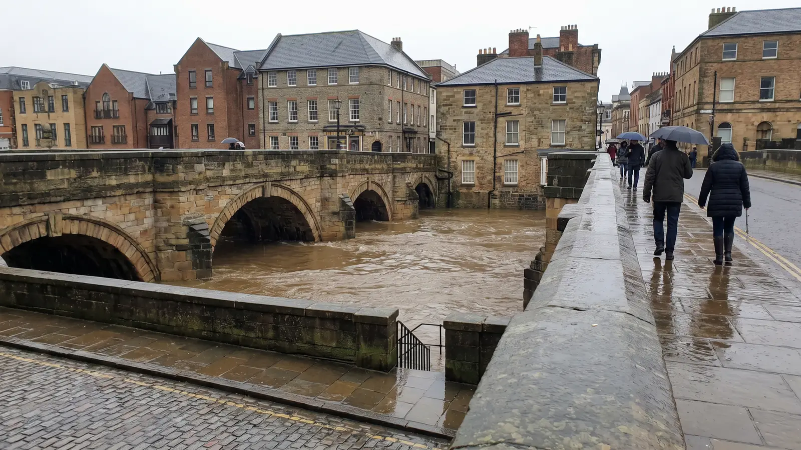
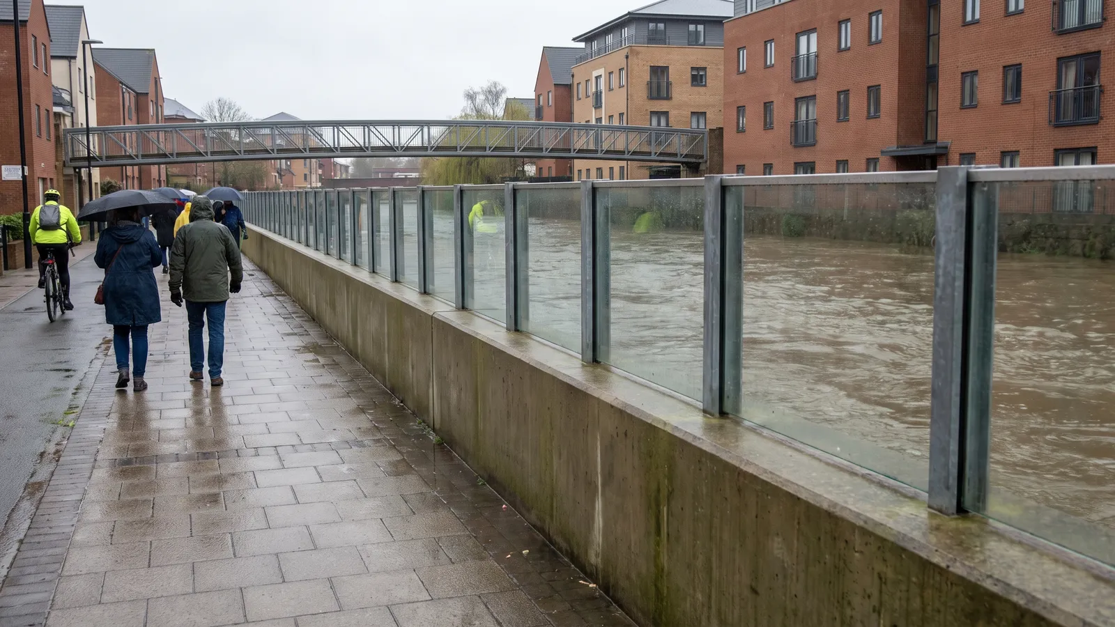
Nottingham's benchmark flood remains March 1947, when snowmelt and heavy rain sent the River Trent over its banks across the city and its suburbs, damaging around 3,000 properties, 86 factories and some 28 miles of road. That event prompted the defences that still line the river today, substantially upgraded by the £45 million Nottingham Left Bank scheme completed in 2012, which reduces flood risk to roughly 16,000 homes and businesses along a 27km stretch of the Trent from Sawley to Colwick. The most recent serious test came in January 2024, when Storm Henk pushed the Trent to near-record levels and a major incident was declared across Nottinghamshire, with 344 homes and 40 businesses flooded county-wide. The city's own defences held.
Flood risk varies street by street, so check your exact address on the Environment Agency's free tool — it covers rivers, sea, surface water and groundwater, and takes a minute.
Check your address on GOV.UK →Who to contact in Nottingham
Dial 105 (free) — you'll reach National Grid Electricity Distribution, the network operator for Nottingham.
Power cut guide →Floodline: 0345 988 1188 (24h). Sign up for free EA flood warnings for your postcode on GOV.UK.
Sign up for warnings →Nottingham City Council handles local flood response, sandbag policy and road closures.
Council flooding page →If flooding is forecast in Nottingham
A flood warning usually gives you hours, not minutes. Use them in this order:
- 1Check the warning level. A Flood Alert means be aware; a Flood Warning means act now; a Severe Flood Warning means danger to life. Follow EA updates for the River Trent warning area.
- 2Move what matters. Take valuables, documents, medicines and irreplaceables upstairs or to high shelves. Move cars to higher ground early — flooded roads close fast.
- 3Deploy your kit. Sandbags or barriers at doors and airbricks if you have them — Nottingham City Council publishes its sandbag policy on its flooding page.
- 4Prepare to switch off. Know where your electricity, gas and water shut-offs are, and switch off if water is about to enter — never touch electrics standing in water.
- 5Grab bag by the door. If you may need to leave: medicines, documents, chargers, warm clothes. Follow evacuation instructions from the emergency services, not social media.
Prepare your household
The same short list serves every emergency: water, food that needs no cooking, a torch, a charged power bank, and — if you're in a flood-risk street — a plan for moving valuables up and kit for keeping water out.
Flood insurance, and Flood Re
If your home is in a higher-risk part of Nottingham, check your buildings and contents policies actually cover flooding, and at what excess. Homes that struggle to get affordable cover may be helped by Flood Re — the government-backed scheme that lets insurers pass on the flood part of eligible home policies, which typically makes cover cheaper and easier to find. Your insurer applies it automatically; if you've been quoted badly, ask specifically about Flood Re-backed policies.
After any flood, photograph everything before cleaning up, and contact your insurer before disposing of damaged items.
Nearby areas
Common questions
Is Nottingham at risk of flooding?
Nottingham's benchmark flood remains March 1947, when snowmelt and heavy rain sent the River Trent over its banks across the city and its suburbs, damaging around 3,000 properties, 86 factories and some 28 miles of road. That event prompted the defences that still line the river today, substantially upgraded by the £45 million Nottingham Left Bank scheme completed in 2012, which reduces flood risk to roughly 16,000 homes and businesses along a 27km stretch of the Trent from Sawley to Colwick. The most recent serious test came in January 2024, when Storm Henk pushed the Trent to near-record levels and a major incident was declared across Nottinghamshire, with 344 homes and 40 businesses flooded county-wide. The city's own defences held. For your exact address, use the Environment Agency's free long-term flood risk checker — risk varies street by street.
Who supplies water in Nottingham?
Severn Trent Water supplies most households in Nottingham. No hosepipe ban is currently listed for Severn Trent Water on our tracker.
Who do I call in a power cut in Nottingham?
Dial 105, free from any phone — it connects you to National Grid Electricity Distribution, the network operator for Nottingham, regardless of who you pay your bill to.
How do I get flood warnings for Nottingham?
Sign up for the Environment Agency's free flood warnings (gov.uk) for alerts by phone, text or email, and call Floodline on 0345 988 1188 for current information.
Sources: Environment Agency flood-monitoring data and long-term flood risk service (GOV.UK); water company announcements via our tracker; Power Cut 105; Nottingham City Council. Live figures refresh on a schedule — always follow official warnings first. PreparedBritain is independent and not affiliated with HM Government.
Get told when Nottingham's picture changes
Flood warnings, hosepipe bans, live incidents near you — one calm email when it actually matters.