Storm Austen expected to bring very strong winds: amber warning for Devon and Cornwall
The Met Office has issued an amber warning for wind for Storm Austen, covering Cornwall, Devon, the Isles of Scilly and Plymouth from 3am to 10am on Friday 23 October, with gusts of 60 to 70mph widely and around 80mph on exposed headlands. The yellow wind warning now runs from midnight to 2pm on Friday and covers 23 council areas in England, Kent now included, and 16 in Wales. Here is the full list, what the Met Office expects, and what to do before Thursday night
At 09:41 on Wednesday 21 October the Met Office issued an amber warning for wind for Storm Austen, for Cornwall, Devon, the Isles of Scilly and Plymouth, from 3am to 10am on Friday 23 October. It says there is a good chance of gusts of 60 to 70mph widely for a time, perhaps around 80mph on exposed headlands, a good chance of power cuts and probably some damage to buildings. At the same time it extended the yellow wind warning: it now runs from midnight on Thursday night to 2pm on Friday, adds Kent, and covers 23 council areas in England and 16 in Wales, with the likelihood of significant impacts raised to medium, 25 to 50%. Gusts of 50 to 60mph are likely in the yellow area, with 70mph or more possible on some coasts. A separate yellow rain warning covers southern, central and north-east Scotland on Friday. Before Thursday night: tie down or bring in bins, garden furniture and trampolines, charge phones and power banks, and put a torch and a battery or wind-up radio where you can find them in the dark.
By Tom Calder · Updated 21 October 2026 · Sourced to the Met Office's warnings of 19 and 21 October 2026, its naming statement of 20 October, GOV.UK Prepare and our own live power-cut trackers
Earlier changes
21 Oct Updated: the Met Office issued an amber wind warning for Cornwall, Devon, the Isles of Scilly and Plymouth (3am to 10am Friday), extended the yellow warning to 2pm and to Kent, raised its likelihood to medium, and issued a yellow rain warning for Scotland.
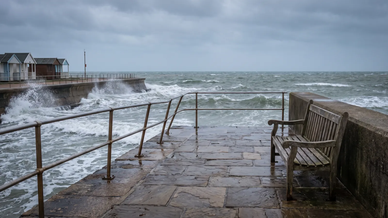
Update, Wednesday 16:30: amber warning for Devon and Cornwall, yellow warning longer and now includes Kent
At 09:41 on Wednesday 21 October the Met Office issued an amber warning for wind for Storm Austen. It covers four council areas in south-west England: Cornwall, Devon, the Isles of Scilly and Plymouth, from 3am to 10am on Friday 23 October, UK time. The Met Office expects a spell of very strong northwesterly winds on Friday morning, with a good chance of gusts of 60 to 70mph developing widely for a time and perhaps some gusts around 80mph on exposed headlands, combined with spells of heavy rain. It rates the likelihood as high, 50 to 75%, and the impact as significant.
Under the amber warning, the Met Office says longer journey times and cancellations are likely, flying debris is likely and could lead to injuries or danger to life, there will probably be some damage to buildings such as tiles blown from roofs, some roads and bridges are likely to close, and there is a good chance of power cuts that could affect other services such as mobile phone coverage. On the coast it says injuries and danger to life are likely from large waves and beach material thrown onto coastal roads, sea fronts and properties. Its advice is to stay indoors as much as possible, and if you must drive, to drive slowly and give cyclists, motorcyclists, lorries and buses more room.
At the same time the Met Office changed the yellow wind warning. It now runs from midnight on Thursday night to 2pm on Friday, UK time, two hours later than before. The area has been extended along the Kent coast, so Kent is now included: 23 council areas in England and 16 in Wales. The likelihood of significant impacts has been raised from low, 10 to 25%, to medium, 25 to 50%. Gusts of 50 to 60mph are now described as likely, with 70mph or more possible on some coasts and exposed areas, more likely over parts of south-west England; ahead of that, southerly gusts of 50 to 60mph will move east along the south coast during Thursday night.
At 10:07 the Met Office also issued a yellow warning for rain for Storm Austen in Scotland, from 6am on Friday to 3am on Saturday, covering 26 council areas across southern, central and north-east Scotland. It expects 20 to 40mm widely, with 60 to 80mm possible in some places, and rates the likelihood as low, 10 to 25%.
When and where
The yellow warning was issued at 11:04 on Monday 19 October and last changed at 09:41 on Wednesday 21 October. It is valid from midnight on Thursday night to 2pm on Friday 23 October, UK time, and covers four Met Office regions: 23 council areas in England and 16 in Wales. Within it, the amber warning covers Cornwall, Devon, the Isles of Scilly and Plymouth from 3am to 10am on Friday.
In Wales: Blaenau Gwent, Bridgend, Caerphilly, Cardiff, Carmarthenshire, Ceredigion, Merthyr Tydfil, Monmouthshire, Neath Port Talbot, Newport, Pembrokeshire, Powys, Rhondda Cynon Taf, Swansea, Torfaen and the Vale of Glamorgan. That is 16 of Wales's 22 council areas; north Wales is not included.
In south-west England: Bath and North East Somerset, Bournemouth, Christchurch and Poole, Bristol, Cornwall, Devon, Dorset, Gloucestershire, the Isles of Scilly, North Somerset, Plymouth, Somerset, South Gloucestershire, Torbay and Wiltshire. Cornwall, Devon, the Isles of Scilly and Plymouth are also under the amber warning.
In south-east England: Brighton and Hove, East Sussex, Hampshire, the Isle of Wight, Kent, Portsmouth, Southampton and West Sussex. In the West Midlands, Herefordshire is included. London and the rest of the south-east are not.
The live weather warnings tracker shows the current warnings and changes as soon as the Met Office updates them.
What the Met Office expects
For the yellow warning, the Met Office says strong west to northwesterly winds will spread across southern parts of England and Wales during Thursday night and into Friday. Gusts of 50 to 60mph are likely, and some coastal or exposed areas could see 70mph or more, more likely over parts of south-west England. Ahead of this, southerly gusts of 50 to 60mph will move east along the south coast during Thursday night. The winds will slowly ease during Friday afternoon, and there will also be periods of heavy rain, making travel difficult.
The yellow warning is now rated medium likelihood, 25 to 50%, with a significant impact. In its list of what to expect, the Met Office says road, rail, air and ferry services may be affected, some roads and bridges may close, power cuts may occur and could affect mobile phone coverage, some damage to buildings such as tiles blown from roofs could happen, and injuries and danger to life from flying debris are possible. On the coast, it warns of large waves and beach material thrown onto sea fronts, coastal roads and properties. The amber warning, rated high likelihood, 50 to 75%, says most of these are likely rather than possible: the full list is in the update above.
Its wider forecast, issued on 19 October, describes an unsettled week with spells of heavy rain, gales and heavy rain possible on Thursday and Friday, and Atlantic weather systems bringing more rain and a risk of strong winds or gales through to 1 November.
Home Alerts members
The full picture, for your home
Each week, what's happening across Britain set against your own address: your water company, your power network, fuel for your car and the gaps in your kit. Free for your own home. Opening in October; the first 100 on the list get in first.
Join the list →Britain's figures from our live trackers, 21 October.
It is Storm Austen
Since 10:45 on Tuesday 20 October, when the Met Office named it, it is: the first named storm of the 2026/27 season, seven weeks in. Its deputy chief forecaster, Tom Crabtree, said the exact track and position were still being determined, but that there was "an impactful period of weather on the way and the potential for disruption in places", which is what earned it a name. The Met Office names a storm when it has the potential to cause disruption or damage that could lead to an amber or red warning, and on Wednesday 21 October it issued the amber warning for Devon and Cornwall.
The naming statement adds detail the warning does not: 20 to 30mm of rain in many places, with higher totals possible over higher ground in the west and further north on Friday; the storm moving from west to east through Friday, with winds generally easing later in the day; and further spells of wind and rain through the weekend and into the start of next week, with the heaviest rain more likely in the west. The Met Office says its warnings are under constant review and could be updated as confidence grows.
Our Storm Austen page now carries the live warnings, power cuts and flood alerts for the storm, and our report on the naming sets out what the statement said.
Power cuts: live checks for the towns in the warning area
Under the yellow warning the Met Office says power cuts may occur on Friday; under the amber warning for Devon and Cornwall it gives them a good chance. If your power goes off, call 105 free from any phone: it reaches your local network operator, not your energy supplier. In the warning area that is National Grid Electricity Distribution across south Wales, most of the south-west and Herefordshire, Scottish and Southern Electricity Networks in Hampshire, Dorset, Wiltshire and the Isle of Wight, and UK Power Networks in Sussex and Kent. The 105 number works wherever you are.
We check the networks' live feeds for each town and city in the warning area, with a postcode check on every page: Cardiff, Swansea, Newport, Bristol, Bath, Plymouth, Exeter, Cornwall, Somerset, Weston-super-Mare, Gloucester, Cheltenham, Bournemouth, Dorset, Wiltshire, Southampton, Portsmouth, the Isle of Wight, Brighton and Hove, Worthing, Crawley, Eastbourne, Hastings, Maidstone and Herefordshire.
If anyone at home relies on electricity for medical equipment, or would struggle in a cut, the free Priority Services Register gets you extra help and updates from your network. You can join through your network operator or your energy supplier.
What to do before Thursday night
The Met Office's own advice starts outside: check for loose items and plan how to secure them. It names bins, garden furniture, trampolines, tents, sheds and fences. Do it on Thursday afternoon, in daylight, rather than in the wind.
For a power cut, it suggests gathering torches and batteries, a mobile phone power pack and other essentials in advance. On Thursday evening, charge phones and power banks, put a torch or head torch where you can find it in the dark, and keep candles for last: fire services warn against them.
GOV.UK Prepare's power cut advice is to keep a battery or wind-up radio and spare batteries, because updates may be broadcast by radio and mobiles can stop if the local mast loses power. Which radio to buy, and how to use one in a power cut.
If you are driving on Friday morning, check road conditions and train timetables first, and allow for fallen branches and spray on exposed roads. In the amber area, the Met Office advises staying indoors as much as possible, and not walking or sheltering close to buildings and trees. On the coast, the Met Office warns that large breaking waves can sweep people off their feet even from the shore: keep back from sea fronts, take care near cliffs and keep dogs on a lead. In an emergency on the coast, call 999 and ask for the Coastguard.
Our power cut preparation guide has the full list, and our storm preparation guide covers the house and garden.
If the power stays off
Keep the fridge and freezer shut, switch off appliances that could come on unattended, and leave one light switched on so you know when the power is back. Never go near a fallen power line or anything touching one: call 105, or 999 if someone is in danger.
In a storm, compensation follows separate rules. Networks group storms into categories by how many faults the weather causes. For a Category 1 storm, the payment is £90 if your supply is not restored within 24 hours, then £45 for each further 6 hours, capped at £2,235. For a Category 2 storm the £90 starts at 48 hours. In Great Britain these payments are made automatically. Our compensation guide explains the rules, and the calculator works out what you are likely to be owed.
If a tree or roof tiles do damage, who pays for storm damage sets out where your home insurance comes in and where a neighbour or council may be responsible.
Common questions
When is the Met Office wind warning?
The yellow warning runs from midnight on Thursday night to 2pm on Friday 23 October, UK time. The amber warning for Cornwall, Devon, the Isles of Scilly and Plymouth runs from 3am to 10am on Friday. The Met Office says winds will slowly ease during Friday afternoon.
Which areas does the wind warning cover?
The amber warning covers Cornwall, Devon, the Isles of Scilly and Plymouth. The yellow warning covers much of Wales (16 council areas, not north Wales), south-west England from Cornwall to Gloucestershire and Wiltshire, the south coast from Hampshire and the Isle of Wight to Kent, and Herefordshire: 23 council areas in England. London is not included.
How strong will the winds be?
In the amber area, the Met Office says there is a good chance of gusts of 60 to 70mph widely for a time, perhaps around 80mph on exposed headlands. In the yellow area, gusts of 50 to 60mph are likely, with 70mph or more possible on some coasts and exposed areas. There will also be spells of heavy rain.
Has the storm been named?
Yes. The Met Office named it Storm Austen at 10:45 on Tuesday 20 October 2026, the first named storm of the 2026/27 season. On Wednesday 21 October it issued an amber wind warning for Devon and Cornwall and extended the yellow warning.
What should I do to prepare?
Secure or bring in loose items outside, such as bins, garden furniture and trampolines. Charge phones and power banks, and keep a torch and a battery or wind-up radio to hand. Check travel before setting off on Friday morning, and keep back from sea fronts. If the power goes off, call 105.
Sources (10)
- Met Office — Amber warning of wind, Friday 23 October 2026 (issued 09:41 on 21 October), and the updated yellow warning of wind (last updated 09:41 on 21 October)
- Met Office — Yellow warning of rain, Scotland, Friday 23 to Saturday 24 October 2026 (issued 10:07 on 21 October)
- Met Office — Yellow warning of wind, Friday 23 October 2026issued 11:04 on 19 October; what to expect, what to do, further detail
- Met Office — UK forecast, 19 October 2026
- Met Office — UK Storm Centre (how and when storms are named)
- GOV.UK Prepare — Power cuts (radio, phones, 105)
- Ofgem — Adjustments to the Guaranteed Standards of Performance: 2026 (payment amounts from 1 April 2026)
- Ofgem — Check if you can get a payment for a power cut
- PreparedBritain — live power-cut trackers, from the network operators' public feeds
- Met Office — Storm Austen named (10:45, 20 October 2026)
PreparedBritain is independent and not affiliated with HM Government.
See our checks first on Google. Add PreparedBritain as a preferred source and Google will show our stories to you more often in Top Stories.

The Emergency Kit Checklist
The GOV.UK Prepare essentials on one printable page — tick them off as you go and keep it with the kit. Free, no catch.
Download it straight away. We'll also send the occasional briefing when something genuinely matters — severe weather, live incidents, real price drops. Nothing else.
Latest from our live data
All stories → News · 21 OctOnly 4 in 100 adults have three days of bottled water at home, the government's survey shows
 News · 21 OctFood inflation held at 1.3%. Wholesale cabbage and cauliflower are up a third. Both are true
 News · 21 OctAldi recall: shoppers warned of hairdryer electric shock or fire risk. How to check yours
Keep reading
All planning & the national picture guides →How can the UK prepare for a cyber-attack? What it has meant at home, and what is worth doing
A minister, a former national security adviser and a former defence secretary have all warned about cyber attacks…
Diesel prices are easing, except at motorway services, now 17p a litre dearer
Diesel at motorway services averaged 216.0p a litre on 15 October, against 198.6p at every other forecourt. The…
El Niño has set a new record. Here is what the last three giants did to Britain's winters
NOAA's weekly El Niño reading has set a new high for the third week running, and its July–September index value is…