Is a ‘snow bomb’ heading for the UK? How to read winter weather headlines
Every winter brings maps of Britain turned blue and an “exact date” snow will hit. The maps are automated computer-model charts, not Met Office forecasts. Here is where they come from, what the Met Office actually says about this winter, and how to tell a real cold spell from a purple map.
Not a forecast. The maps behind “snow bomb” and “exact date” headlines are automated computer-model charts, many from WXCharts and often more than a week out, well beyond the few days within which the Met Office says confidence in a snow forecast typically increases. The Met Office’s long-range model maps for November to January, issued in September 2026, lean mild rather than cold, and its UK 3-Month Outlook for that period is not due until around the end of October 2026; its signal for autumn and early winter is wetter and stormier, linked to an El Niño it said on 22 September 2026 had become the strongest in the observational record, with an increased risk of cold snaps later in the season. Snow or ice likely to cause disruption brings a Met Office weather warning, issued up to seven days ahead but sometimes at short notice; in England, UKHSA Cold-Health Alerts cover the health risk from cold itself, and those are the things to check.
By Tom Calder · Updated 22 September 2026 · Sourced to the Met Office, UKHSA, GOV.UK, mygov.scot, Social Security Scotland, nidirect, NOAA and ECMWF
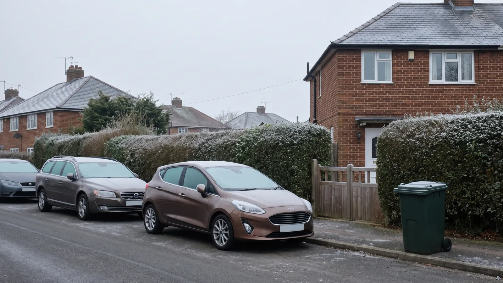
Where the maps come from
WXCharts, the site most of the maps are credited to, publishes automated charts drawn from computer weather models. They are model output, not a Met Office forecast.
The big global models have fixed horizons: GFS, run by the United States agency NOAA, four times a day out to 16 days; the European centre ECMWF’s main ensemble from 00 and 12 UTC out to 15 days, with shorter runs in between. A “snow bomb” chart for a date a fortnight away therefore sits near the end of a model’s range; the Met Office’s 17 September 2026 review noted that what such maps show may be possible but does not always represent the most likely outcome. As its ensemble explainer puts it, there is always a limit to how far ahead any detail can be predicted.
The name is borrowed, too. A “weather bomb” is a real, if unofficial, term for a low-pressure system whose central pressure falls by at least 24 millibars in 24 hours — explosive cyclogenesis, as the Met Office explained on 3 September 2026, most common over the North Atlantic in autumn and winter. A “snow bomb” has no such definition: the Met Office’s 24 February 2026 headline review counted snow “bombs” among the dramatic language in recent headlines.
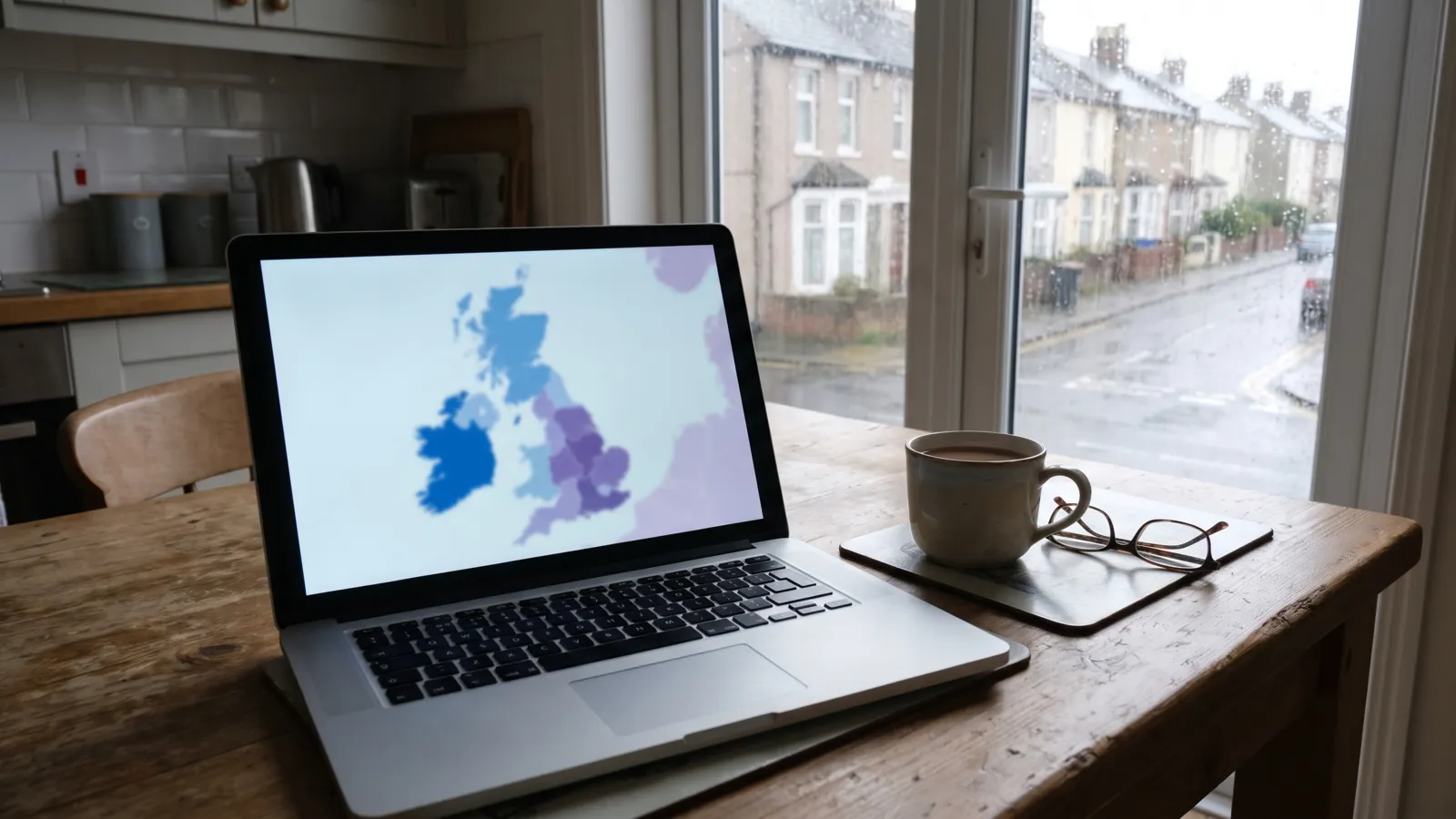
Why the maps flip from one run to the next
Follow one of these stories for a few days and the snow moves, shrinks or vanishes. That is how forecasting works at that range. The Met Office’s page on its MOGREPS ensemble system puts it plainly: the future evolution of the atmosphere is very sensitive to small errors in the analysis used to start the forecast.
Forecasters handle this by not trusting a single run. An ensemble runs the same model many times from slightly different starting points — the Met Office’s MOGREPS system runs 18 forecasts each time — and asks how far they spread. If the members agree, confidence is high; if they diverge, the honest answer is “uncertain”. A single deterministic chart, the kind the Met Office says headlines often draw on, shows one outcome as if it were the only one.
Snow is harder still. In its 21 November 2025 explainer on forecasting snow, the Met Office says small variations in temperature or wind direction can mean the difference between rain, sleet or snow, and that snow cannot be forecast with high confidence weeks in advance. Confidence typically increases within a few days of an event — not the week or two the headlines work with.
What the Met Office actually says, and about which range
The Met Office’s accuracy page, as it stood on 22 September 2026, says its four-day forecast is now as accurate as its one-day forecast was 30 years ago. That is the range at which a snow forecast means something. For much longer ranges, it wrote on 10 December 2025, long-range forecasts are for assessing the likelihood of different outcomes, not warning of specific events; it is not possible to predict the exact weather on a particular day months ahead.
Its 3-Month Outlook, explained on 3 June 2026, gives probabilities for the whole UK averaged over three months, written for contingency planners. The baseline in its user guidance is a 60 per cent likelihood of a near-average season and 20 per cent each for the cold and mild ends; the outlook says how far those odds have shifted.
The current edition, issued 1 September 2026, covers September to November. Reporting it on 11 September, the Met Office put the chances of a warm and wet autumn at around one-and-a-half to two times higher than normal, with windy conditions more likely later in the season. On 21 August it had called the developing El Niño “unprecedented”, probably the largest such event since the 19th century, and expected it to raise the chances of wetter, stormier conditions for the UK in autumn and early winter. On 11 September it stressed that El Niño is only one of several climate drivers, and on 22 September 2026 it said the event had exceeded previous records, the strongest in the observational record, adding that later in the season El Niño is associated with an increased risk of cold snaps. Our El Niño page and tracker follow it.
On 22 September the Manchester Evening News ran “Met Office warns of huge impact ‘record-breaking’ El Niño will have on UK weather this autumn and winter”; the impact the Met Office describes is wetter and stormier weather, not a named snowy day. What it has not yet issued, as of 22 September 2026, is a UK 3-Month Outlook for November to January. Outlooks are issued towards the end of each month and cover the next three months, so the edition due around the end of September will cover October to December, and the first for November to January should follow around the end of October 2026. The Met Office does already publish global long-range model probability maps up to six months ahead, updated monthly. Those issued in September 2026 for November to January put the chance of above-normal temperatures across most of the UK at 60 to 80 per cent, and of below-normal at 20 per cent or less, where each of the three categories would normally have a one-in-three chance. They are model guidance, not a UK forecast, and no Met Office outlook forecasts a particular day or a snow total; but on that guidance, a headline saying the Met Office expects an exceptionally cold November to January would have it the wrong way round.
When it has checked specific snow and cold headlines, its verdicts have been consistent: of the “578-mile snow bomb”, on 24 February 2026, that widespread heavy accumulations were not supported by the forecast; of an April blizzard said to bury much of the UK, on 16 April 2026, no widespread snow at low levels; of a polar-vortex cold snap, on 18 August 2026, temperatures close to average; of the “brutal 4°C chill”, on 17 September 2026, that the longer-range forecast did not indicate a widespread or prolonged cold spell.
How to check properly
Three official sources, in order. First, the Met Office forecast for your area, which combines model data, observations and forecasters’ judgement, not one raw model run. The Met Office says confidence in a snow forecast typically increases within a few days of an event, so treat anything further out as a trend.
Second, the National Severe Weather Warning Service: warnings up to seven days ahead for snow, ice, wind, rain and other hazards, for the whole UK, impact-based since 2011. Yellow warnings cover a range of situations, many of them low-level impacts that are likely, including some disruption to travel in a few places; amber, an increased likelihood of impacts that could disrupt your plans; red, dangerous weather is expected and you should take action now to keep yourself and others safe. A “snow bomb” the Met Office expected to cause disruption would show up here. Our weather warnings tracker shows what is live; storm names covers the systems more likely this autumn.
Third, in England, the UKHSA Cold-Health Alerts, which have a core season from 1 November to 31 March (UKHSA can issue one out of season), scored with the Met Office on a 1 to 16 likelihood-and-impact scale and aimed mainly at the health and social care sector and emergency responders, though anyone can register for them. UKHSA’s 8 January 2026 explainer is clear that they cover England only, because public health is devolved, while the Met Office warnings cover all four nations. There is no UK-wide equivalent: in Scotland, Wales and Northern Ireland the Met Office warnings for snow and ice still apply, but the Met Office does not issue warnings for low temperatures alone. We explain the alert levels here and track them on the health alerts tracker.
The Emergency Kit Checklist
The GOV.UK Prepare essentials on one printable page — tick them off as you go and keep it with the kit. Free, no catch.
Download it straight away. We'll also send the occasional briefing when something genuinely matters — severe weather, live incidents, real price drops. Nothing else.
What a real cold spell changes at home
When a warning does arrive, the useful preparation is unglamorous and mostly free. What goes wrong in British cold spells is pipes, boilers, roads and heating bills.
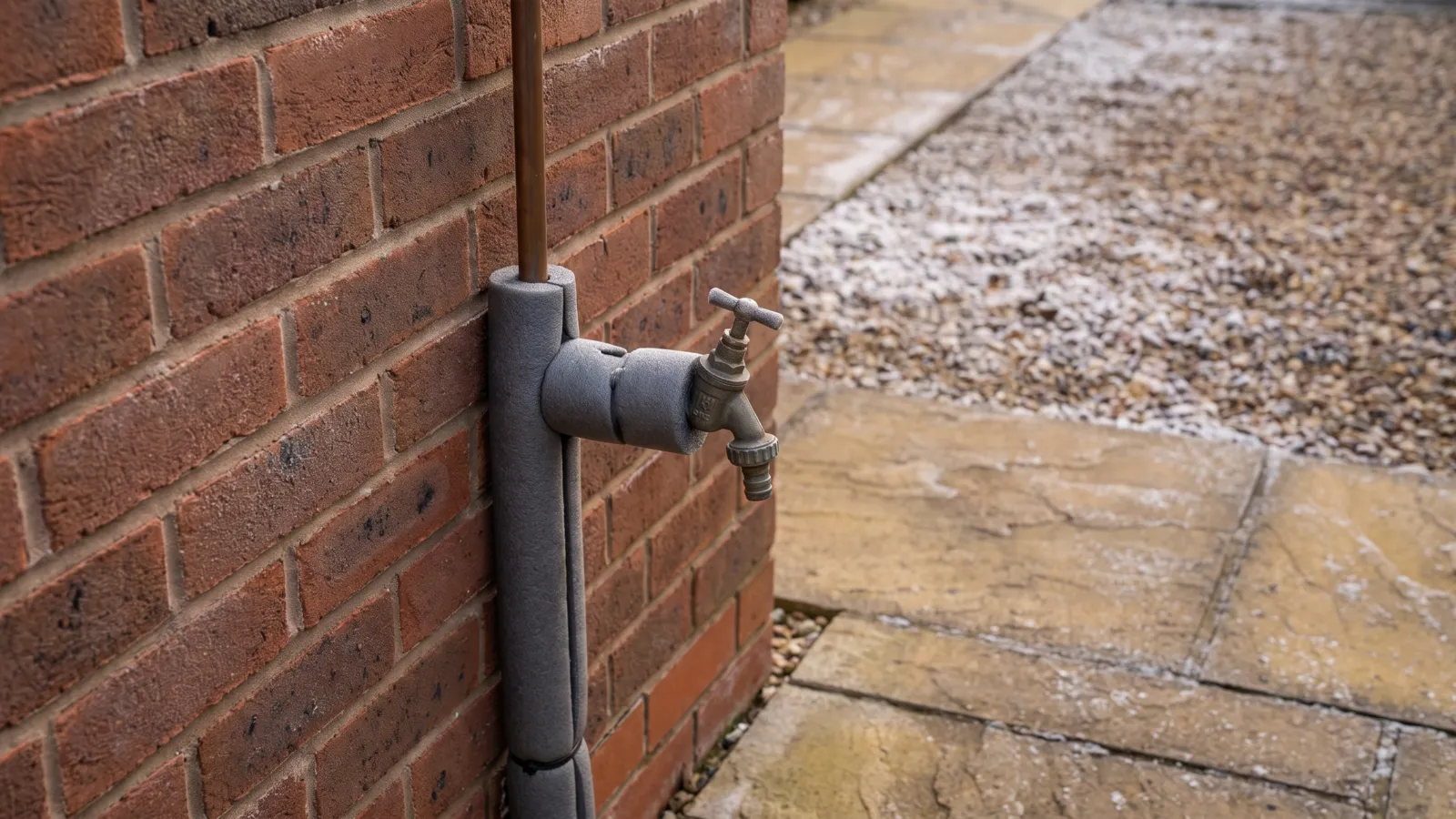
Know where your stopcock is and how to prevent and thaw a frozen pipe; if the boiler stops on a freezing morning, a frozen condensate pipe is the usual culprit. Driving in snow and ice covers the car and when not to travel. For storms, the likelier hazard on this autumn’s outlook, see winter storm preparation and power cut preparation; anyone relying on powered medical equipment should join the free Priority Services Register now.
Money follows the thermometer, not the headlines. In England, Wales and Northern Ireland the Cold Weather Payment pays £25 for each seven-day period between 1 November 2026 and 31 March 2027 in which the average temperature in your area is recorded or forecast at zero degrees Celsius or below, automatically to people on qualifying benefits (Northern Ireland has its own Cold Weather Payment on the same terms, explained on nidirect). Scotland does not have it: Social Security Scotland pays a single Winter Heating Payment whatever the weather, £62.00 at the current rate on mygov.scot as of 22 September 2026, up from £59.75 in winter 2025/26, paid automatically from December. Our Cold Weather Payment guide has the qualifying benefits, energy bill help covers the rest, and keeping warm without heating is for a boiler failure, not a purple map.
None of this needs a date. The GOV.UK Prepare kit list, sized to your household by the kit builder, is the same in October as in a cold snap, and The Family File holds the numbers you would want if the heating failed.
What not to do
Don’t rearrange plans around a snow date more than a few days away. The Met Office says snow cannot be forecast with high confidence weeks in advance and that confidence typically increases within a few days of an event; the map will change before the date arrives.
Don’t shop on a map. Snow or ice that could cause disruption gets a Met Office warning, sometimes days ahead and sometimes at short notice; that is the moment to check the car and the cupboard, and the kit list is short.
Don’t ignore a real warning because the last five headlines were hype. An amber or red snow warning from the Met Office is a different thing from a WXCharts screenshot; the warnings tracker shows which you are looking at.
And don’t read the El Niño coverage as a snow forecast. The Met Office’s signal for autumn and early winter is wetter and stormier, not colder. On 22 September 2026 it said El Niño is associated with an increased risk of cold snaps later in the season, which is a risk to watch, not a date. When its November to January outlook lands, this page will say what it shows.
Common questions
Is a snow bomb heading for the UK?
Not according to any Met Office forecast or warning as of 22 September 2026. The “snow bomb” maps in headlines are automated computer-model charts, often more than a week out, many of them from WXCharts. Snow or ice likely to cause disruption would get a Met Office National Severe Weather Warning, which can be issued up to seven days ahead. The Met Office does not issue warnings for low temperatures alone; in England, UKHSA’s Cold-Health Alerts cover that.
What is a ‘snow bomb’?
It is headline language, not a forecast term: the Met Office’s 24 February 2026 headline review counted snow “bombs” among the dramatic language in recent headlines. A “weather bomb” is an unofficial name for a low-pressure system whose central pressure falls by at least 24 millibars in 24 hours, which the Met Office calls explosive cyclogenesis. “Snow bomb” borrows the drama without the definition.
Where do the ‘weather map turns blue’ snow maps come from?
Many are credited to WXCharts, a site that publishes automated charts drawn from computer weather models. Those models only run so far ahead: the American GFS, run by NOAA, goes out to 16 days and ECMWF’s ensemble to 15, so a map for a date a fortnight away sits near the end of a model’s range. It is not a Met Office forecast.
How far ahead can snow be forecast in the UK?
The Met Office says snow cannot be forecast with high confidence weeks in advance and that confidence typically increases within a few days of an event, because small variations in temperature or wind decide between rain, sleet and snow. Its accuracy page, checked on 22 September 2026, says its four-day forecast is now as accurate as its one-day forecast was 30 years ago.
Has the Met Office said this will be the coldest winter in decades?
No. Its UK 3-Month Outlook for November to January is not due until around the end of October 2026. The current edition, issued 1 September 2026, covers September to November and leans warm and wet, not cold. Its global long-range model maps, issued in September 2026, put the chance of a colder-than-normal November to January across the UK at 20 per cent or less, against a normal one in three. No Met Office outlook forecasts a particular day or “the coldest winter in decades”.
Does the record El Niño mean a snowy UK winter?
Not for autumn and early winter, and it is not a snow forecast. The Met Office’s 21 August, 11 September and 22 September 2026 blogs say El Niño raises the chances of wetter, stormier conditions for the UK then, and the later two stress that it is only one of several factors. On 22 September 2026 it added that later in the season El Niño is associated with an increased risk of cold snaps. That is a raised risk, not a forecast of snow on any date.
Sources: Met Office — How does the Met Office forecast snow? (21 November 2025) · Met Office — The Met Office ensemble system (MOGREPS) · Met Office — What is an ensemble forecast? · Met Office — How accurate are our public forecasts? · Met Office — Understanding long-range forecasts: science, skill and application (10 December 2025) · Met Office — What does a 3-Month Outlook really tell us? (3 June 2026) · Met Office — User guidance for the UK three-month outlook · Met Office — Weather services for contingency planners (current 3-Month Outlook) · Met Office — Global long-range model probability maps (issued September 2026) · Met Office — An ‘unprecedented’ El Niño and its implications for the weather forecast (21 August 2026) · Met Office — What does the latest long-range forecast tell us and what role could El Niño play this autumn? (11 September 2026) · Met Office — Record-breaking El Niño surpasses previous benchmarks (22 September 2026) · Met Office — Weather bombs: what causes explosive cyclogenesis? (3 September 2026) · Met Office — ‘Hotter than Greece?’, ‘578-mile snow bomb?’ Weather headline review (24 February 2026) · Met Office — Arctic snow blizzards? Mini heatwaves? Weather headline review (16 April 2026) · Met Office — September heatwave? Cold snap? Weather headline review (18 August 2026) · Met Office — ‘30°C surge?’ ‘Brutal chill?’: Weather headline review (17 September 2026) · Met Office — Weather warnings guide · Met Office — Met Office weather warnings: how and why they are issued (11 June 2025) · UKHSA — What is the difference between Weather-Health Alerts and Severe Weather Warnings? (8 January 2026) · UKHSA data dashboard — Cold health alert risk score · NOAA Environmental Modeling Center — Global Forecast System (GFS) · ECMWF — Medium-range forecasts · GOV.UK — Cold Weather Payment · mygov.scot — Winter Heating Payment · Social Security Scotland — Winter Heating Payment starts (December 2025) · nidirect — Cold Weather Payment · Birmingham Live via Yahoo News UK — Exact date snow will hit UK in 2026 as weather map turns blue (22 December 2025) · Scottish Daily Express — New Year snow ‘just the start’ as weather maps show exact date Glasgow and Edinburgh are buried (29 December 2025) · LBC — ‘Snow bomb’ could hit London in matter of days, forecasters warn (16 January 2026). PreparedBritain is independent and not affiliated with HM Government.
More viral headlines, checked against what was actually saidSee them all →Keep reading
All weather, storms & flooding guides →What this record El Niño means for a UK winter (and what it doesn't)
The Pacific is running about 3C above normal and headlines have gone straight to snow. The Met Office signal for…
Driving in snow and ice: the Highway Code rules, technique and when not to travel
Highway Code rules 228–231 explained: clearing snow and ice legally, tyres, gentle-input technique, black ice, and…
After a flood: the first 48 hours, drying out and the insurance claim
What to do after a flood in the UK: safety checks before re-entry, contaminated-water hygiene, drying out properly,…